
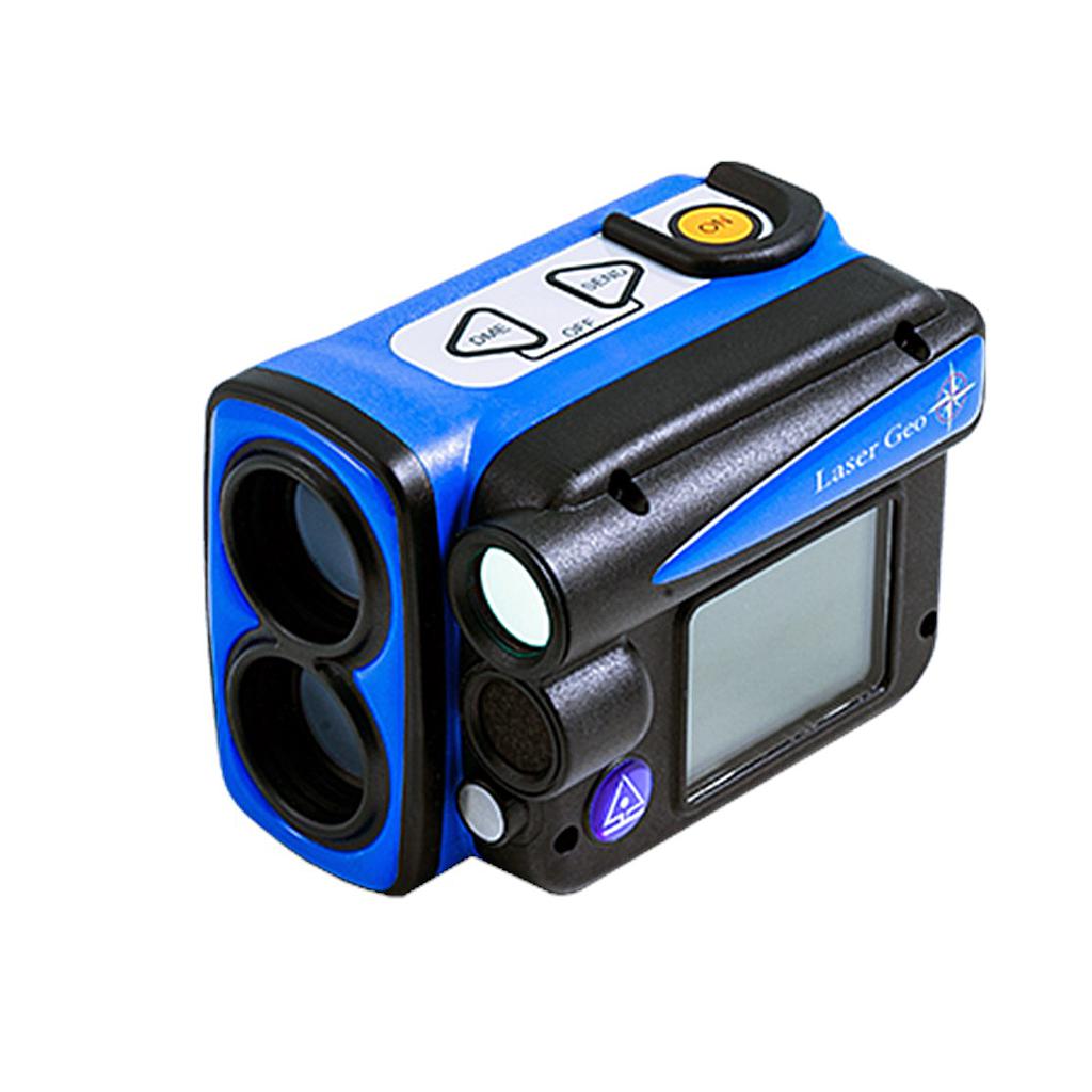
HAGLOF Laser Geo tree height gauge
Specifications:
Range: 0-999 m/ft
Resolution: 0.1 m/ft.
Angle: -90° - 90°
Resolution: 0.1⁰
Accuracy: 0.1⁰
Laser: 46cm/1.5ft – 700m/2000ft belong to the object
Accuracy: 4cm/0.1ft
Resolution: 0.1m/ft
Display: LCD 100x60 pixles
Connection: Nmea or Ascii. IR, Bluetooth.
Data format: CSV and KML Google Earth.
Memory: 2000 data
Operation Temp: -20° to +45° C/ -4°F-113°F.
Communication: IR, Bluetooth® class 2, Spp (serial profile), pin-code 1234, USB 2.0/SSD Disk.
Power input: Re-charger Li-Ion 3.7V
Dimension: 93x63x72mm/3.7x2.5x2.8”
Weight: 243 g/8.6oz.
Standard Accessories:
- Laser Geo: 1
- Adapter: 1
- User Manual: 1
- Alumium Case: 1
- Battery in instrument: 1
Get exclusive volume discounts, bulk pricing updates, and new product alerts delivered directly to your inbox.
By subscribing, you agree to our Terms of Service and Privacy Policy.
Direct access to our certified experts